3 Import a dataset
In this part, we will show you how to import a dataset into the application.
This example will use the RICardo dataset provided here: https://github.com/gflowiz/sageo-ricardo
This dataset is about goods exchange between countries from the seventeenth century and early twentieth century.
We will use 2 CSV files :
- SAGEO_RICardo_nodes.csv that contains information on the nodes (position mainly);
- SAGEO_RICardo_edges_small.csv that contains informations on the links (or edges) who connects the nodes.
Arabesque will be able to link nodes and egdes using common IDs between those 2 files. Arabesque will automatically remove links or nodes that are not common to the 2 files.
3.1 Load the link data
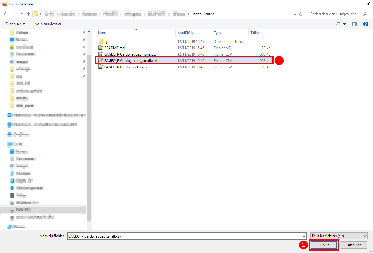
To create a new map, you first start to load the link data. To do so, click on the Browse button.
New map
Browse your files and select the SAGEO_RICardo_edges_small.csv file.
This file is Ricardo data aggregated by decades to make it smaller footprint.
The file SAGEO_RICardo_edges_nona.csv contains non aggregated data.
Click on Open to load the data in the application.
Browse links
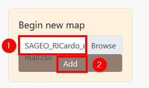
When the data has been loaded, the filename will appear in the box and you can click on the Add button.
Add links
3.2 Load the nodes data
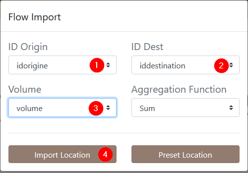
A popup window will open to help you select the informations needed by the application.
Flow import
Arabesque works with 3 columns:
- ID of the origin node
- ID of the destination node
- the column containing the information on the transferred volume
The RICardo dataset comes with columns named accordingly but the name is not very important.
You can also choose an aggregation function. Arabesque provides the most common ones (sum, mean, median, maximum, minimum).
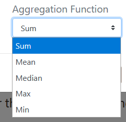
Aggregation functions
Links needs to be spatialized. This is provided by the nodes.
There is 2 ways to add nodes to the map. By providing a node file or by using preset locations.
3.2.1 From a preset dataset
This feature is a work in progress and is not available yet.
3.2.2 From a file
You can provide your own nodes file.
On the previous menu, click on Import Location. This will pop up the following window.
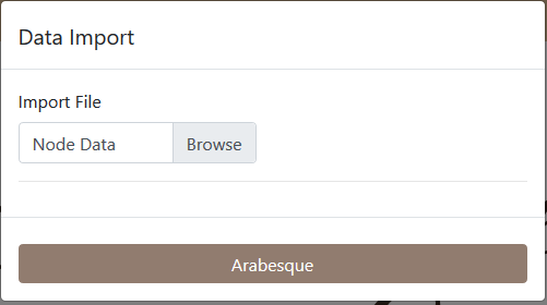
Import Nodes
Click on Browse, select the SAGEO_RICardo_nodes.csv
file and click on Open.
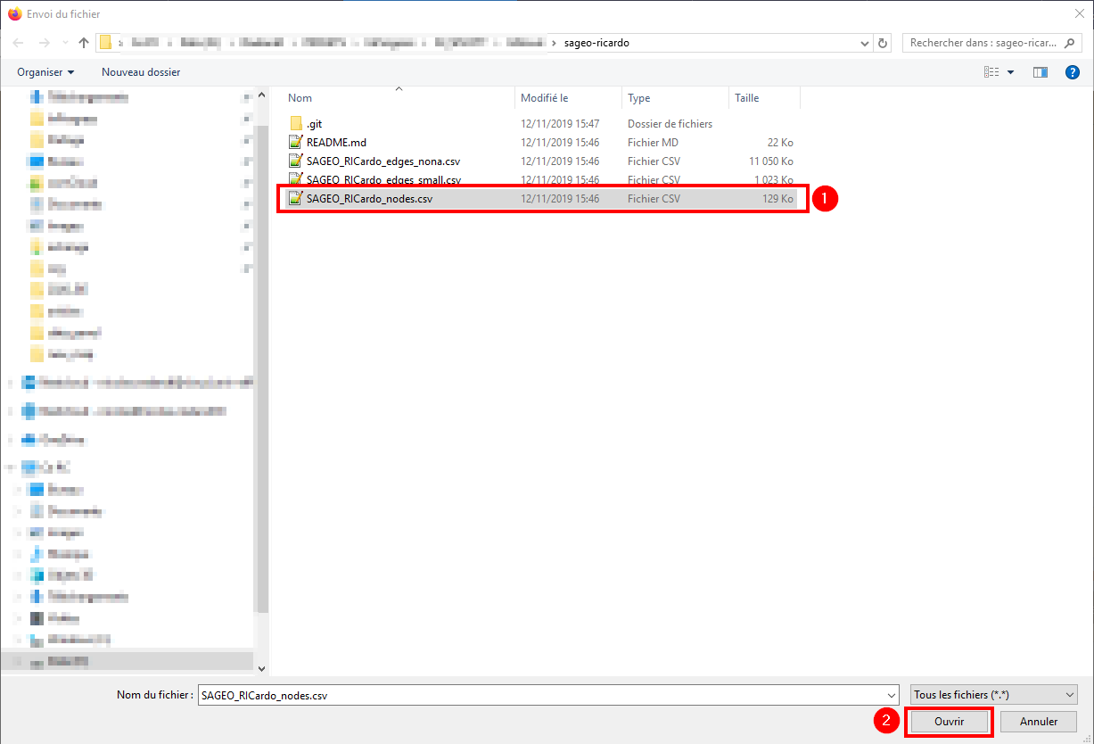
Browse files
This files need 3 columns:
- a column containing the node IDs
- a column with the latitude of the node
- a column with the longitude of the node
The node is always a point located in space with decimal geographical coordinates.
Before loading the file, Arabesque will need to know which column store IDs and lat/long information.
Use the drop-down lists to assign the right columns. Click on the Arabesque button to launch the map.
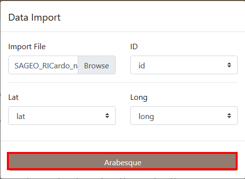
Provides field identification
3.3 New map
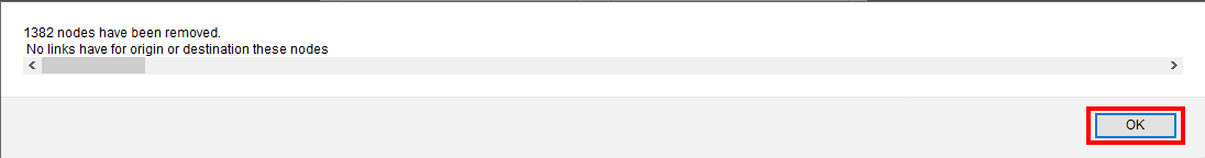
3.3.1 Removed nodes and links
When Arabesque connects nodes and links, it automatically remove orphans nodes (not related to any link) and links (links without nodes). Arabesque will inform you with a popup window.
For example: > 1382 nodes have been removed. > No links have for origin or destination these nodes
Nodes removal
Click on OK
3.3.2 Default map
Arabesque will display a default map, with the most significative information and a default theme.
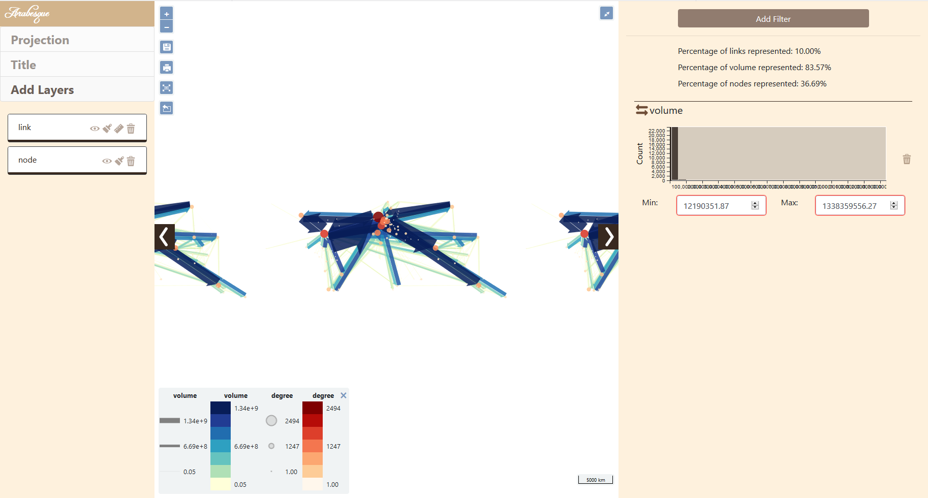
Default map
You can modify it like shown in the Functionnalities section.