11 Arabesque interoperability
One of the new features of Arabesque2 is its interoperability with dedicated network processing applications, which use its filtering and geo visualization functionality.
11.1 CorText manager
Cortext Manager is a publicly available web application providing data analysis methods curated and developed by a team of researchers and engineers. Upload a textual corpus in order to analyse its discourse, names, categories, citations, places, dates etc, with methods for science/controversy/issue mapping, distant reading, document clustering, geo-spatial and network visualizations, and more.
11.1.1 What is it ?
Cortext Manager is the main attraction of Cortext Plateform and our goal is to empower researchers by promoting advanced qualitative-quantitative mixed methods. Our primary focus is on studies about the dynamics of science, technology and innovation, and about the roles of knowledge and expertise in societies. We understand the move towards digital humanities and computational methods not as addressing a technological gap for the social sciences, but rather as entailing entirely new assemblages between its disciplines and those of modern statistics and computer sciences. And we work to tackle ever more complex research problems and deal with the profusion of new and diverse sources of information without losing sight of the situatedness and reflexivity required of studies of human societies.
11.1.2 How to play with Arabesque ?
You can jump straight to Cortext Manager and create an account, but we suggest taking a look at the Documentation and Tutorials as you start your journey.
At the end of your work in Cortext manager, you have reached the next stage.
To geovisualise and explore your spatial networks with Arabesque, you can :
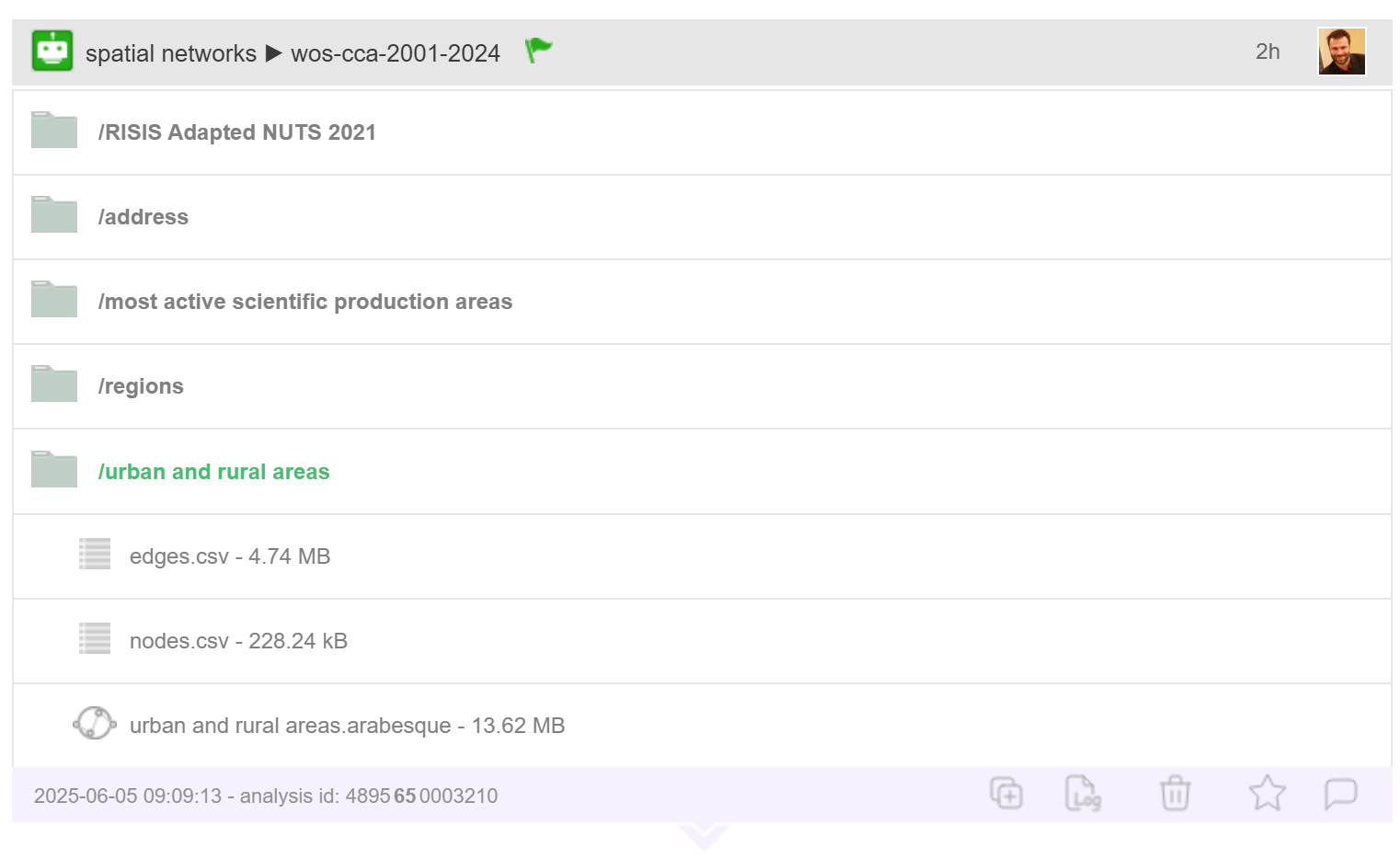
- either copy the interoperability link entitled “urban and rural areas arabesque” into your browser, which will put you in the Arabesque geovisualisation environment
- or, as with any spatial network, import the two node and link files on the Arabesque home page [see Data importation].
11.1.3 Credits
Cortext is hosted by the LISIS research unit at Université Gustave Eiffel, and was launched by French institutes IFRIS and INRAE, receiving their continued support.
11.1.4 How to cite CorText ?
Lionel Villard, Juan Pablo Opsina & Luis Daniel Medina (2019). CorText Geospatial Exploration Tool. ESIEE Paris, Paris Est University.
11.2 Netscity
NETSCITY is a publicly available web application enabling to analyse and visualise world scale scientific production and collaboration data. Compared to existing bibliometrics tools that mainly focus on mapping co-occurrence networks, NETSCITY focuses on processing and analysing the geographical information comprised in bibliometric datasets. It provides a fully integrated solution to parse and clean authors’ addresses, comprised in a set of references retrieved from the WoS, Scopus, Dimensions.ai, or custom csv files, geocoding them at the city level, clustering them at the requested level of analysis (urban areas [relying on the open dataset of urban areas published in the Cybergeo journal or countries) and mapping them either on a world base map or in a relational space.
11.2.1 What is it ?
NETSCITY originated in the NETSCIENCE project, a project funded by the LABEX SMS in Toulouse. This project aimed at analysing the geography of contemporary scientific activities focussing on both the evolution of the spatial distribution of the scientific production and on scientific networks of collaboration at the global scale. NETSCITY gives access to the processing method developed during this project. It results from the collaborative work of a small team of researchers and research engineers in geography, GIS science and computer science.
11.2.2 How to play with Arabesque ?
After importing a dataset on NETSCITY “Import bibliographic records”, you can jump directly to the “Display results” page of NETSCITY (click on the magnifying glass icon). You will have access to various views among which the “Arabesque” view. By cliking on the Arabesque button, you will be traveling to Arabesque. From there, you can edit your flow map at the country level, select the counting variable you want to use to weight the international links and select a base map. At the current stage of development, you can only visualise the country-to-country flow map in Arabesque (not yet the interurban flow map).
11.2.3 Credits
NETSCITY is hosted by the IRIT research unit at Université de Toulouse in France.
11.2.4 How to cite NETSCITY?
Marion Maisonobe, Laurent Jégou, Nikita Yakimovich, Guillaume Cabanac (2019). NETSCITY: a geospatial application to analyse and map world scale production and collaboration data between cities. In ISSI’19: Proceedings of the 17th International Conference on Scientometrics and Informetrics, Tome 1, p. 631-642, Rome: Edizioni Efesto. PDF